Select Language:
Guatemala’s Land Area Unveiled: A Closer Look at Its Geographic Size
1. The Surprising Scale of Guatemala’s Territory
Guatemala, nestled in Central America, is often overlooked on the global map, but its size is striking when compared to neighboring countries. Covering approximately 108,890 square kilometers (42,042 square miles), it ranks as the most populous nation in Central America. Its expansive landmass includes diverse terrains ranging from lush rainforests to towering volcanoes, showcasing a rich geographic tapestry that surpasses many neighboring nations.
2. The Misconceptions About Guatemala’s Size
Often underestimated due to its compact appearance on some maps, many people believe Guatemala is smaller than it actually is. This misconception stems from the distorted representations in different map projections, particularly the Mercator projection, which can sometimes exaggerate the size of distant regions and diminish the prominence of closer countries. As a result, Guatemala’s true size is sometimes misunderstood or undervalued, leading to a lack of awareness about its geographic significance.
3. Comparing Guatemala to Its Regional Neighbors
To truly grasp Guatemala’s scale, consider its neighbors:
- Mexico — It’s vastly larger, covering about 1.96 million square kilometers, making Guatemala about 5.5% of Mexico’s size.
- Honduras — Slightly larger than Guatemala, Hondure’s area is approximately 112,492 square kilometers, just a bit bigger.
- Belize — Much smaller, Belize encompasses only 22,966 square kilometers.
- El Salvador — Even more compact at around 21,041 square kilometers.
These comparisons help contextualize Guatemala’s size within its regional landscape, revealing its significant land area, especially for a country with a population exceeding 17 million residents.
4. Geographic Diversity Within Guatemala
Guatemala’s extensive land size is home to a remarkable variety of landscapes and ecosystems:
- Highlands and Volcanoes — The country boasts over 30 active volcanoes, including the iconic Volcano of Fire (Fuego), which regularly erupts and contributes to fertile soil.
- Rainforests and Jungles — Dense tropical forests cover significant portions of the nation, supporting diverse wildlife and indigenous communities.
- Coastlines and Beaches — Guatemala possesses both Atlantic and Pacific coastlines, each lined with beautiful beaches and vital ports.
This geographic diversity underscores the importance of understanding the true size of Guatemala, as each region contributes uniquely to the country’s culture, economy, and ecology.
5. Challenges and Opportunities Related to Its Size
The large landmass of Guatemala presents both challenges and opportunities:
- Infrastructure Development — Maintaining roads, healthcare, and educational facilities across such a broad area can be complex and costly.
- Environmental Conservation — Protecting its diverse ecosystems requires comprehensive policies and international cooperation.
- Economic Growth — The country’s size offers a wealth of natural resources, from minerals to agricultural products, which can be harnessed to boost economic development.
Guatemala’s expansive territory provides a strategic advantage for tourism, agriculture, and sustainable development if managed effectively.
6. The Role of Map Projections in Visualizing Guatemala’s Size
Map representations can significantly influence perceptions of a country’s size. For example, the commonly used Mercator projection tends to distort land sizes, making areas near the poles appear larger and those near the equator appear smaller. When viewing Guatemala on different map projections, its true geographic scale becomes more evident, emphasizing the importance of accurate cartography for cultural and geopolitical understanding.
7. The Importance of Raising Awareness About Guatemala’s Geography
Understanding Guatemala’s true size fosters a greater appreciation of its cultural richness and geopolitical significance. It helps global policymakers, tourists, and investors recognize the potential embedded within its vast landscapes and resources. Accurate knowledge reduces misconceptions and can inspire more meaningful engagement with the country’s diverse communities and environments.

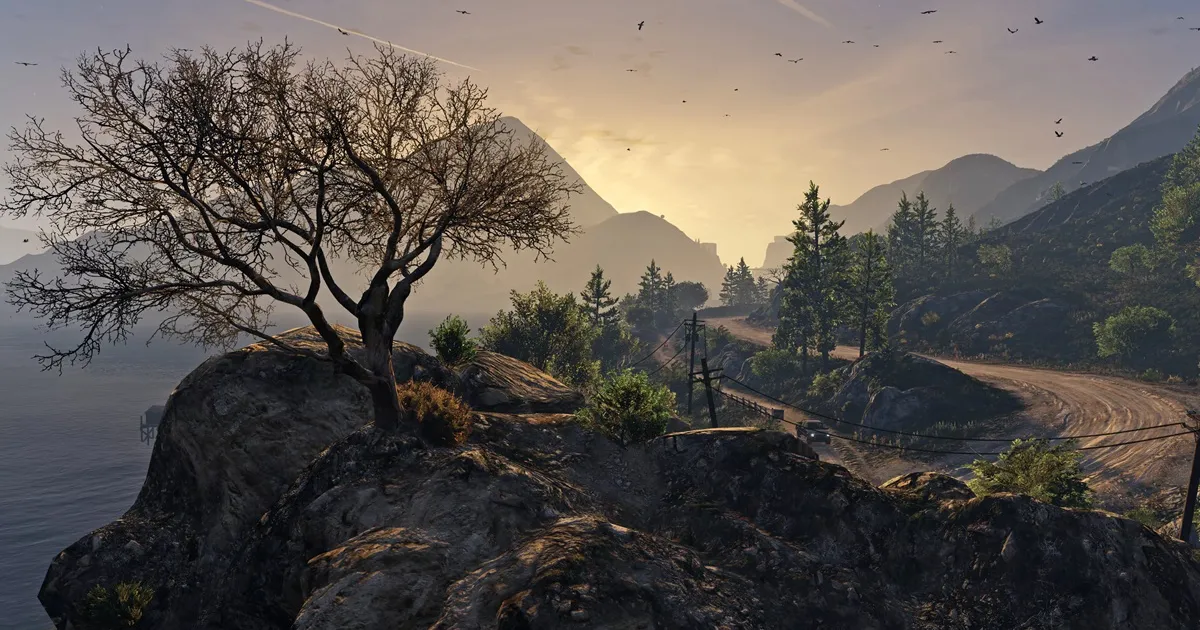
Photo Caption: Guatemala’s varied topography, from volcanoes to coastal regions, exemplifies its expansive and diverse geography.
By exploring the true size of Guatemala, it becomes evident that the country’s geographic capacity is both underestimated and underutilized in many discussions. Recognizing its actual scale reveals a land of immense potential, rich biodiversity, and cultural depth that deserves broader recognition on the global stage.