
Select Language:
The First Draft of Pakistan and the Partition of India: Key Insights
1. The Original Map Proposal of Pakistan
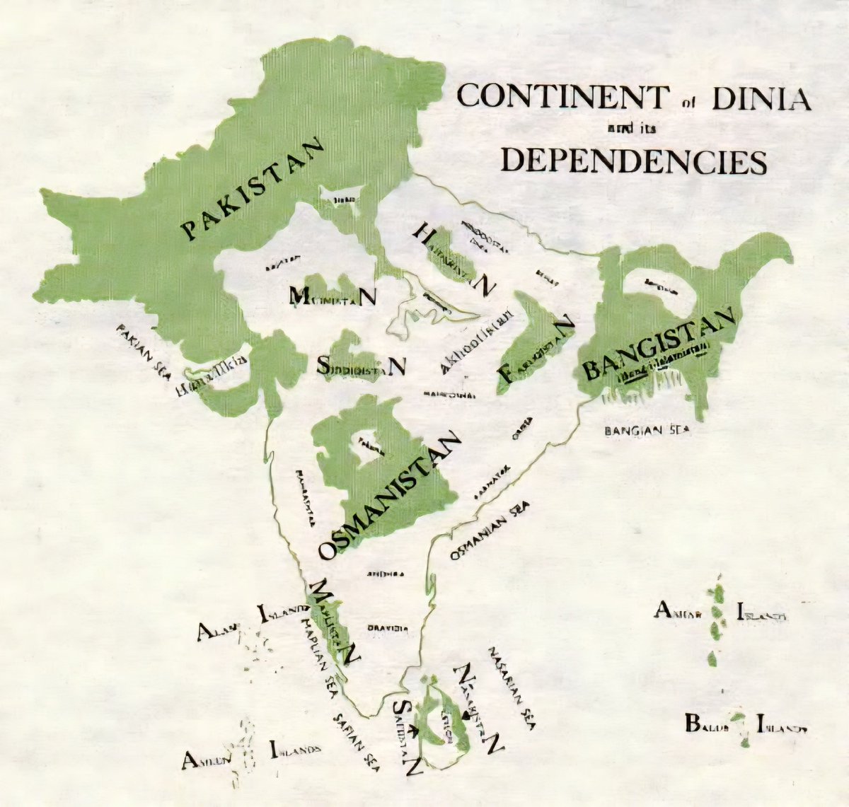
In 1947, the boundary and formation of Pakistan sparked fierce debate among political leaders, community stakeholders, and the British authorities. The earliest proposed map of Pakistan was a significant milestone in the region’s history, illustrating a vision that was both complex and controversial. This initial draft displayed a landmass that not only encompassed the present-day Pakistan but also included regions that would later be contested or excluded. It reflected the intricate balance of religious, cultural, and political factors at play during the final stages of British India’s independence.
2. The Controversial Partition Line
The partition of India in 1947 wasn’t just a division of land—it was an event marked by unprecedented violence and upheaval. The map’s boundaries reflected an imperfect compromise, designed to create separate nations for Hindus and Muslims. However, the line drew sharp criticism for its arbitrary nature, forcibly splitting communities and displacing millions. The proposed map showed a jagged, often confusing border that tried to respect religious majority areas but inevitably encroached into territories inhabited by minority populations.
3. The Role of Leaders in Shaping the Map
Key figures such as Muhammad Ali Jinnah and Lord Mountbatten had differing visions for the border delineation. While Jinnah sought a homeland that guaranteed safety for Muslim populations, the British government aimed to minimize conflicts, often leading to hastily drawn boundaries. The initial map was a product of intense negotiations, political pressures, and the urgent need to avoid further bloodshed. This map was subsequently adjusted several times, reflecting the ongoing debate about the best way to partition India.
4. The Impact of Partition on Communities
The map of 1947 profoundly influenced the migration patterns of millions. People living just across the borders faced brutal violence, forced migrations, and loss of homes. Cities like Lahore, Karachi, and Delhi saw waves of refugees fleeing violence, reshaping their social fabric. The initial map’s lines became a stark symbol of separation, with many families torn apart and communities forever changed.
5. Long-Term Consequences of the Founding Map
Decades later, the initial map used as a basis for Pakistan’s formation continues to influence geopolitical tensions in the region. Disputes over border territories such as Kashmir trace their roots to these early boundary decisions. The map not only defined physical borders but also laid the groundwork for decades of diplomatic disagreements, military conflicts, and nationalist sentiments.
6. An Ever-Evolving Historical Perspective
Modern historians and political analysts study the 1947 map to understand better the dynamics and mistakes made during partition. This historic document serves as a reminder of the complexities and human costs involved in redrawing a nation’s boundaries. As Pakistan and India celebrate their decades of independence, the map remains a powerful symbol of both division and hope for future resolution.
The 1947 partition of India and the formation of Pakistan continue to be among the most significant and sensitive chapters in South Asian history. The initial maps, debates, and subsequent repercussions highlight the profound impact of boundary decisions on communities and geopolitics.
 ChatGPT
 Perplexity
 Gemini AI
 Grok AI